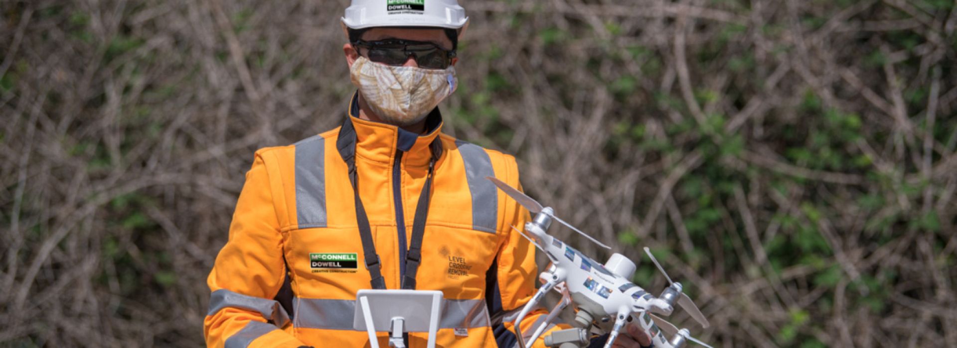
Streamlining site data capture and use
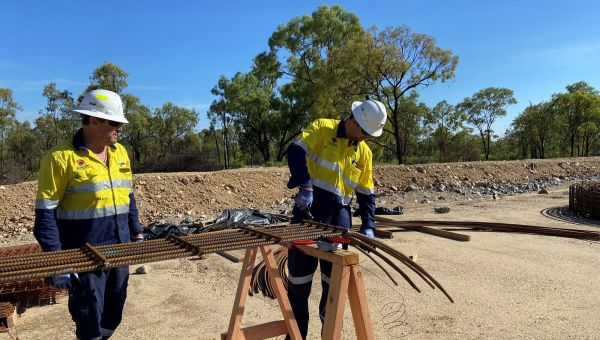
Significant benefits from reality capture methodologies have been realised on a number of our projects, such as the Māngere Targeted Asset Renewals Project (TARP) in New Zealand and on the Level Crossing Removal Projects in Victoria.
The ability to measure and fabricate from LiDAR captured data federated into the digital model, enabled a reduction in both site work and the program when compared to using traditional methods.
Regularly recording site conditions using drone captured photogrammetry data has enabled tracking of yard stock and site progress across rail corridors on Melbourne’s Western Program Alliance (WPA) Level Crossing Removal Project. Monitoring site progress using these photogrammetry models assures accuracy when calculating progress payments and assessing delays.