Large Old Tree Retention using GIS
Our team on the Echuca Moama Bridge project used GIS (geographic information system) to save 34 Large Old Trees, preserving essential habitat for local fauna.
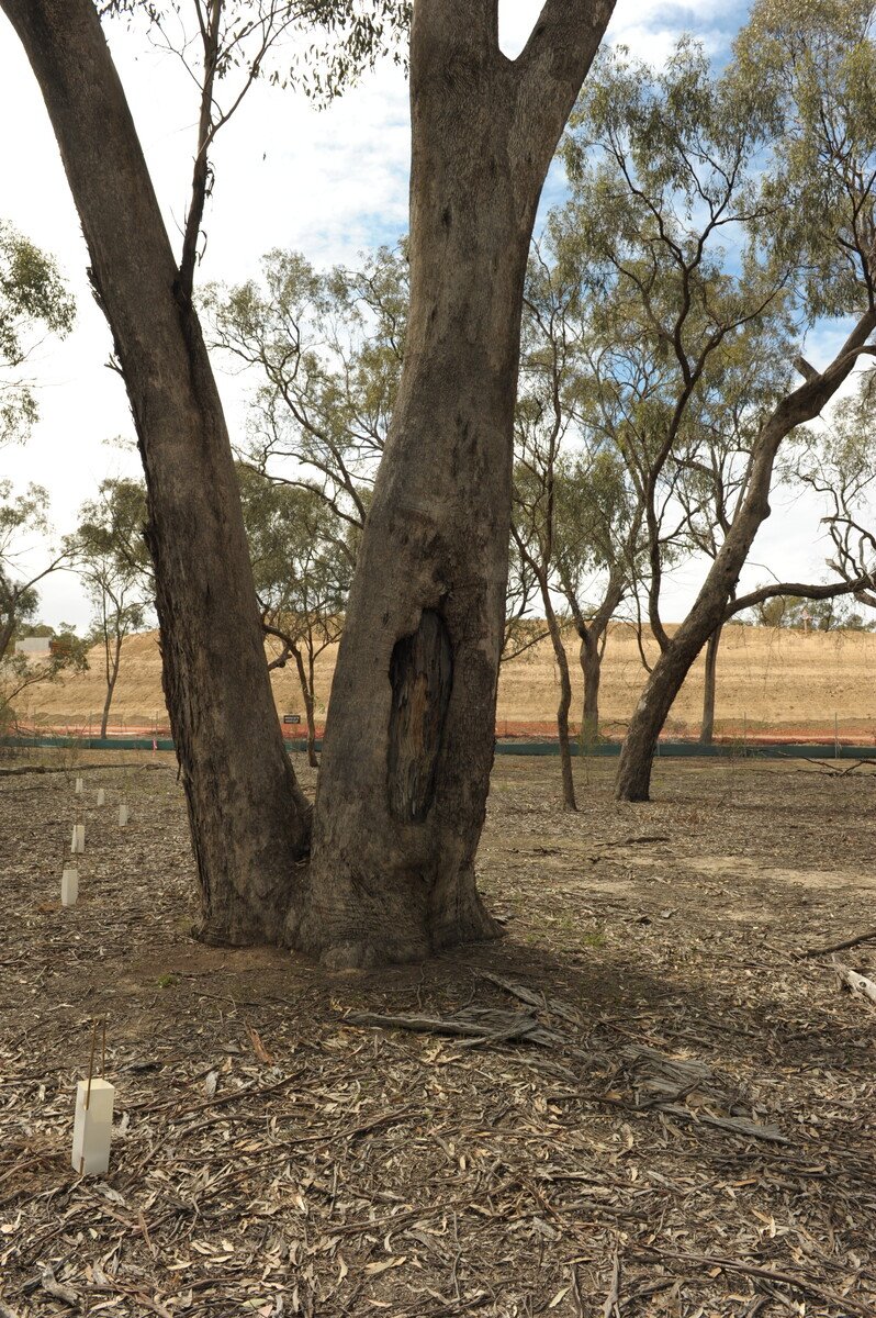
The Echuca Moama Bridge project area comprised approximately 2.2 km of mostly plains woodland and riverine grassy woodland. Across the extent of the new bridge, 208 Large Old Trees were approved for removal from the project area.
However, excessive clearing of LOTs would increase the potential for erosion into the adjacent river systems, as the area routinely floods due to excessive rainfall and releases from further up the Murray River system.
LOTs also provide essential habitat (tree hollows) for local fauna, including the Victorian Temperate Woodland Bird Community. Even a small hollow can take up to 100 years to develop naturally and provide crucial shelter and nesting locations for local birds and small mammals.
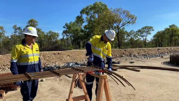
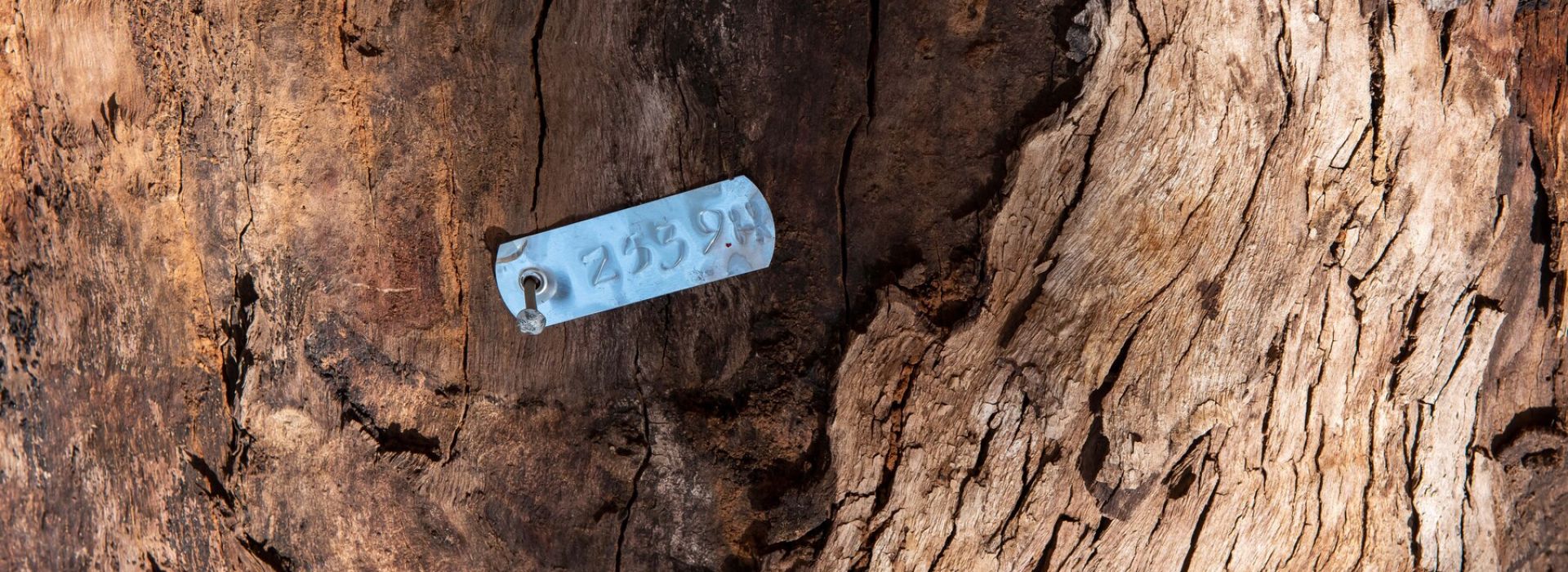
Due to these negative impacts the project team set about saving as many LOTs as possible. GIS software was used to identify habitat and map permanent and temporary works footprints. The GIS platform helped identify 35 LOTs which had the potential to be retained. By the time work was completed 34 LOTs were saved. GIS mapping has now been adopted across other McConnell Dowell projects due to this success.
A supplementary activity to this tree clearing was to salvage suitable hollow bearing logs for nest box creation and log placement on the ground as part of the final landscape design. The retention of the LOTs resulted in an improvement of 0.42 hectares from the baseline or around 6%. Over 450 nest boxes were manufactured from the timber repurposed around site, well in excess of the 1:1 target ratio.