
We're embracing wearable technologies on our sites to drive productivity, transparency and access.
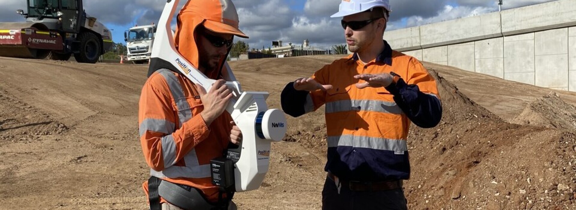
On a current road project we invited Position Partners to demonstrate their NavVis VLX wearable mobile mapping system. NavVis uses multi-layer LIDAR sensors to capture 3-dimensional measurements, along with four cameras that take high resolution images to use with the point cloud created.
The scan undertaken on site covered an area of approximately 200m x 75m and took less than 30 minutes. Over 200 million points were collected in the point cloud data.
This technology allows quick and accurate data collection to complement traditional survey methods.
Meanwhile, on a rail project, we hosted our first virtual site tour completely hands free, using a RealWare head unit attached to our superintendent’s helmet.
The 100% voice-activated device provides little distraction, enabling the wearer to safely tour the site whilst conversing in a Microsoft Teams call.
All site noise is cancelled out, leaving the tour host’s voice crystal clear, to match the vision provided to those on the conference call.